Okinawa Bases: 25% Land Footprint & Shifting Identity
"The shadow of history stretches long over the turquoise waters of the Ryukyu Islands, where the presence of military installations creates a complex layer of identity that defines the modern Okinawan landscape."
To understand Okinawa is to understand the tension between its breathtaking natural beauty and the heavy footprint of its strategic importance. This guide explores the historical and visual records that document how the island’s geography has been reshaped by decades of military presence.
* Physical Footprint: U.S. military installations cover approximately 25% of the island, making them a permanent fixture of the landscape. * Land Evolution: Since 1972, over 1,000 hectares (2,500 acres) of land has been added through reclamation, representing 0.83% of the island's total area. * Economic Impact: Military bases account for 4% to 5% of the local economy. * Historical Record: Documentary photography and official archives serve as vital tools for preserving the memory of land use and community struggle.
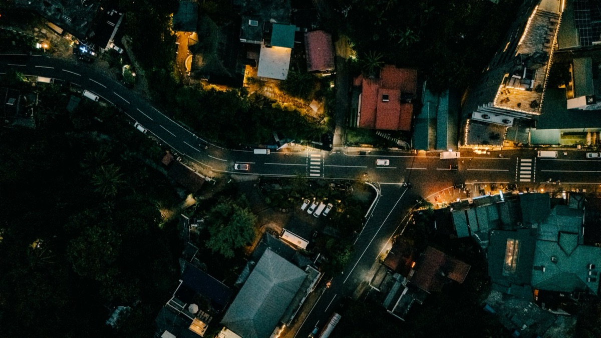
What is the physical scale of the presence?
A heavy-duty transport truck rumbles past a roadside flower stall in Ginowan at 10:30 AM, the sound of the engine momentarily drowning out the gentle rustle of palm leaves. According to World Bank data, Japan recorded international tourist arrivals of 4,115,800 in 2020.
In this moment, the transition between civilian life and military infrastructure feels almost seamless, yet the scale of the installations is impossible to ignore.
The sheer amount of land occupied by military installations is a defining characteristic of the island's geography. United States military installations cover approximately 25% of the island and have been a point of contention among locals.
This vast footprint means that much of the daily life of residents is physically shaped by fences, gates, and restricted zones.
The geography of the island has also been physically altered through human intervention to accommodate these needs. Since 1972, over 1,000 hectares (2,500 acres) of land has been added via reclamation, which accounts for 0.83% of the island's total area.
This artificial expansion of the coastline highlights how the very shape of the land has been modified over the decades.
While the installations occupy a significant portion of the land, there is a stark demographic imbalance. The majority of the U.S.
presence is concentrated in specific areas, creating a unique spatial relationship where high-density civilian populations live in close proximity to massive military zones. But how did we reach this specific state of density?
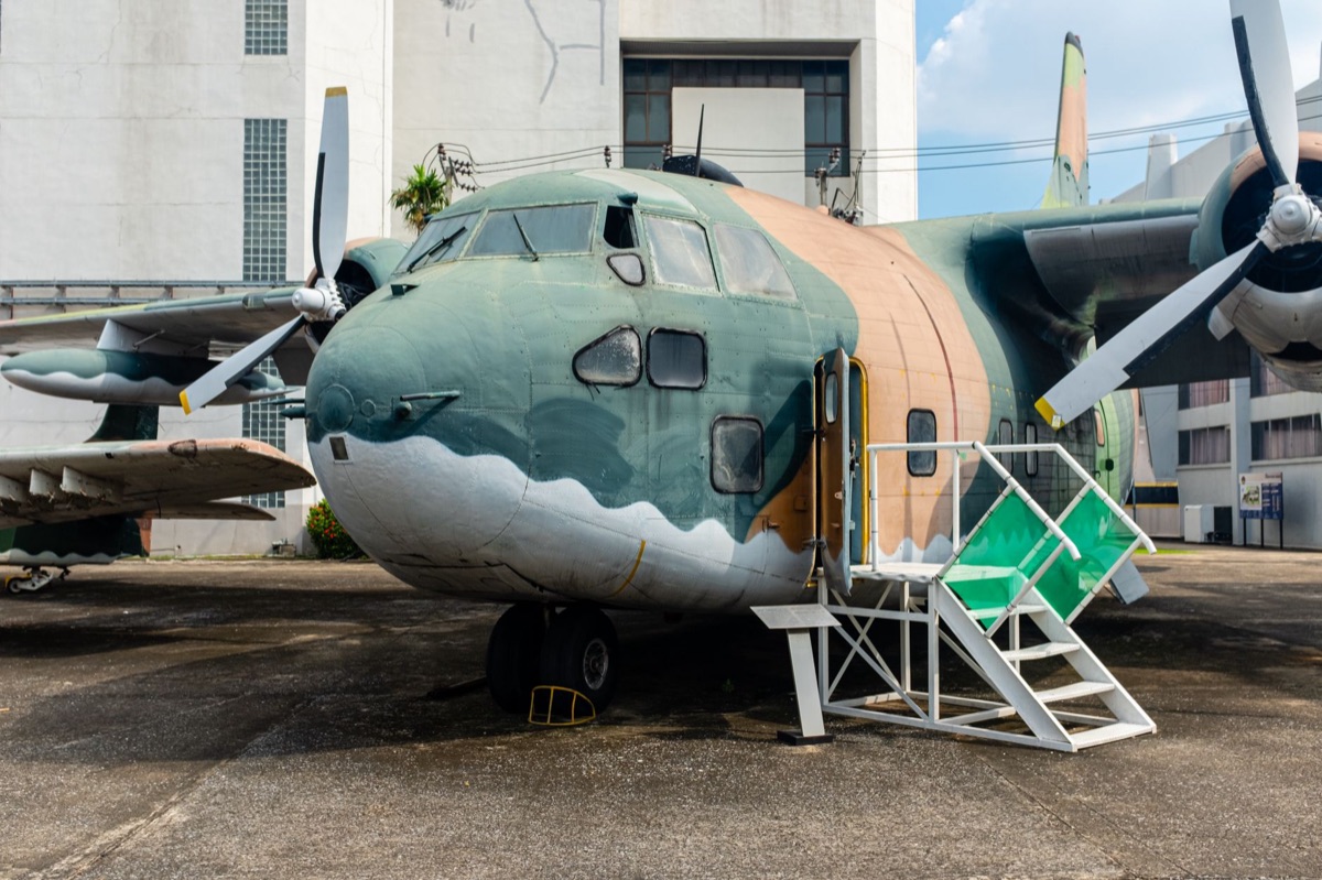
Why does the history of land and sovereignty feel so heavy?
Walking through the narrow streets of Naha at dusk, one might see a memorial to the Battle of Okinawa, a quiet reminder of the devastation that preceded the current era of occupation.
The transition from the devastation of war to the establishment of permanent bases created a narrative of survival and struggle that continues today.
The history of the U.S. presence is deeply tied to the post-war administrative shifts and the eventual reversion of Okinawa to Japan. This period brought about significant changes in how land was managed and how sovereignty was perceived by the local population.
The presence of these bases has remained a central point of debate regarding local autonomy and the legacy of the post-war period.
Community sentiment has often been divided, but there is a persistent focus on the concentration of these facilities.
Efforts to address the placement of bases often focus on the southern third of the island, where 90% of the population resides, making the density of the installations a primary concern for local leaders and residents alike.
The struggle for land and the desire for base closure are not just political issues but are deeply personal for families who have lived alongside these installations for generations. The historical records of these movements provide a window into the changing priorities of the Okinawan people.
However, seeing the history is one thing; documenting it is another.
How do we preserve the visual and written account?
An elderly man sits on a wooden bench in a quiet park in the late afternoon, flipping through a weathered photography book that captures the coastline as it looked fifty years ago. The images show a coastline that is almost unrecognizable compared to the modern, reclaimed shores of today.
Documentary photography plays a crucial role in capturing the dual reality of Okinawa. Visual records allow historians and residents to track the physical changes in the landscape, from the original natural coastlines to the current state of reclaimed land and fortified zones.
These archives serve as a vital form of cultural memory.
Official documents and photographic collections provide a stark contrast between the administrative reality of land management and the lived experience of the people.
While a map might show a simple boundary, a photograph captures the reality of a fence cutting through a traditional fishing village or a view of the sea.
These records are essential for preserving the history of the island's identity. They document not just the changing land, but the changing social fabric of Okinawa as it navigates its role within Japan and its relationship with the United States.
But what happens when the economy is tied to that very presence?
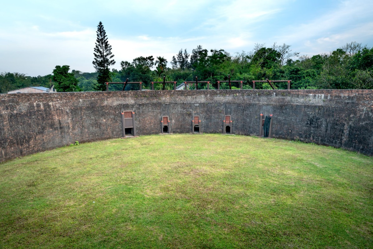
What is the real difference in the socio-economic interplay?
The smell of savory Okinawa Soba wafts from a small shop near a base entrance during the lunch rush, where workers and locals mix in a routine of daily commerce. In this intersection of economy and presence, the influence of the installations is felt in every transaction.
The relationship between the military presence and the local economy is a complex web of dependency and friction. Military bases account for 4% to 5% of the island economy, providing significant employment and driving commerce in surrounding areas.
This economic contribution is a major factor in local decision-making and regional planning.
While the economic impact is significant, it is often viewed through a lens of necessity versus desire.
The presence of the bases provides stability for some sectors of the economy, yet the desire for land return and the development of more traditional industries remains a driving force in local politics.
The scale of this economic influence is significant when compared to the broader national context.
In Japan, where military bases are widely distributed, approximately 70% of the bases are located in or around Okinawa, making the economic and social weight of the installations disproportionately high on this single island. This leads us to the question of what comes next.
How do we navigate the transition of the land?
A construction crew works on a new seaside promenade at sunrise, the sound of machinery marking the progress of a changing coastline. As parts of the land are slowly returned to civilian use, the landscape undergoes another transformation, shifting from military utility to public space.
Efforts toward returning land and transitioning its usage are ongoing processes that shape the future of Okinawa. As certain areas are vacated, the question of how to repurpose vast tracts of land becomes a central theme in urban planning and community development.
The scale of land returned through various agreements represents a significant opportunity for the island.
These transition projects often involve complex negotiations regarding environmental protection, infrastructure development, and the needs of the local community. As Okinawa moves forward, the legacy of its history will continue to be written through the way it manages its land.
| Feature | Historical/Military Context | Modern/Civilian Context |
|---|---|---|
| Primary Land Use | Strategic installations & fortifications | Tourism, residential, & commerce |
| Coastal Profile | Naturally shaped/Original coastline | Extensive reclamation & artificial land |
| Economic Driver | Defense spending & base-related jobs | Tourism, agriculture, & service industry |
| Focus of Movement | Sovereignties & base closure | Land return & urban development |
When I traveled through the southern districts, I noticed how a single paved road could transition from a bustling shopping street to a guarded perimeter in a matter of seconds. It is a jarring shift that defines the local experience.
To understand the current landscape, one should follow these steps:
- Identify the Zone: Recognize the distinction between civilian residential areas and restricted military zones.
- Observe the Coastline: Look for the sharp lines of reclaimed land versus the natural curves of the older coastline.
- Consult Local Archives: Visit museums in Naha to see the photographic transition of the land.
- Assess Economic Shifts: Note how commerce changes as you move closer to or further from base gates.
It is important to note that these observations apply primarily to the coastal and southern regions of the island. In the more mountainous northern areas, the military footprint is significantly less dominant, and the landscape remains largely defined by natural topography.




Comments 0